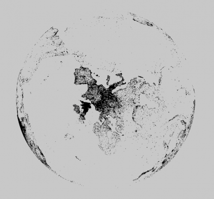
Loaded with the ofxCSV addon. Convert Lat & Lon into 3d points (but get the math wrong so stuff is backwards) and make a mesh. Draw it and use ofEasyCam and move it with the mouse.
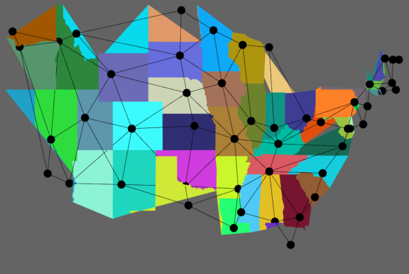
I also worked on a more interactive US map. I had a goal of toggling between geographic mappings and a more abstracted mapping of state connections. The data set I downloaded only have inter-state borders so lots of the states were screwed up. The National Atlas data looked like a much better data set with a lot more points.
